➢ situated in Santiago Cué *compañía* (rural district) of the San Pedro del Paraná District, approximately 3,500 meters from the road connecting San Pedro del Paraná with the locality of Hohenau, at the 20-kilometer mark, this road connects with the Graneros del Sur route in the Department of Itapúa.
The property is reached via Route VI, which connects the city of Encarnación with Ciudad del Este.
➢ SURFACE AREA
The total surface area of the property is 316 hectares and 8,216 square meters
(THREE HUNDRED SIXTEEN HECTARES AND EIGHT THOUSAND TWO HUNDRED SIXTEEN SQUARE METERS).
It consists of 7 fractions, detailed as follows:
Fraction A: 54 hectares and 5,328 m²
Fraction B: 54 hectares and 5,332 m²
Parcel C: 54 hectares and 5,327 m²
Parcel D: 49 hectares and 5,993 m²
Parcel E: 2 hectares and 8,183 m²
Parcel F: 67 hectares and 2,820 m²
Parcel G: 33 hectares and 5,233 m²
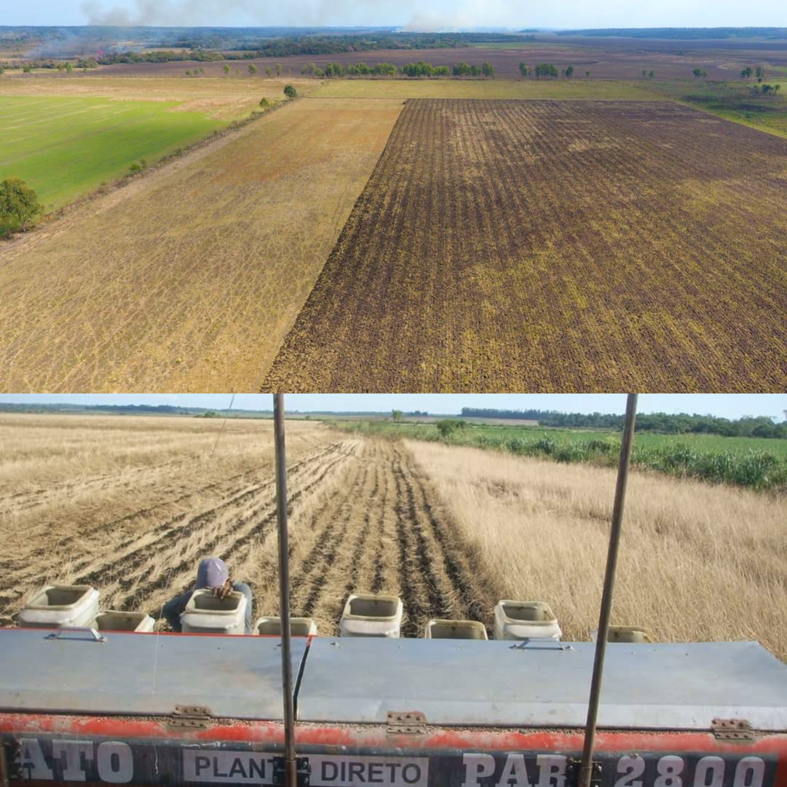
➢ SOILS: The area features a generally level and homogeneous physiography; 95% of the land is open terrain. At one time, 200 hectares were mechanized and planted; consequently, this mechanized portion remains under cultivation today. The land has been optimized for pasture use to accommodate the volume of livestock managed on the farm. The soil composition varies across different segments: some areas consist of black clay, while others feature white sandy soil. Along the property's boundaries runs a stream known as the Guaracay, which helps maintain good soil moisture levels. To date, canalization work has been carried out to better utilize the flat terrain—which is ideally suited for agricultural crops—thereby opening up many additional hectares suitable for planting crops such as soybeans, corn, etc. Topographically, the zone is level with minimal undulations and very little remaining forest cover, allowing for nearly 100% of the land to be utilized for agriculture.
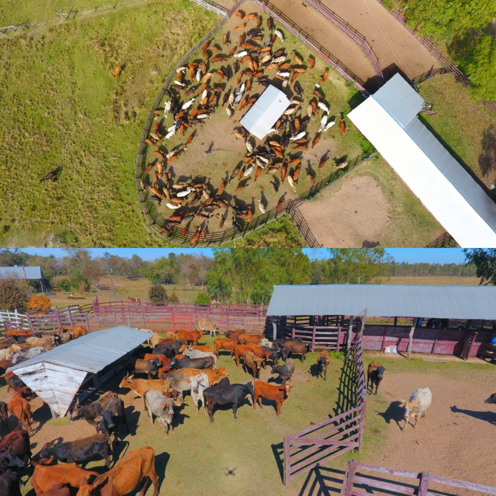
➢ WATER: The property is well-endowed with water resources, featuring the Guaracay stream which borders the rear section of the estate. Additionally, the main farmstead area includes a well providing potable water. ➢ CURRENT LAND USE: The property is currently being utilized for extensive agriculture, featuring crops of soybeans, corn, wheat, and sunflowers. Areas not currently under cultivation consist of *Brachiaria brizantha* and *Brachiaria* pastures. The land use is optimized through reforestation and the preservation of wooded areas, thereby maintaining the surface area and zones designated for the EIA (Environmental Impact Assessment). This complies with the requirements stipulated by Decree No. 453/2013 (enacted under Law 294/93), which mandates the preservation of approximately 25 hectares of woodland containing timber of high quality. Agricultural Crops: The area available for cultivation and/or productive use allows for the planting of nearly 300 hectares without issue; as of the current date, 100 hectares are planted with soybeans.
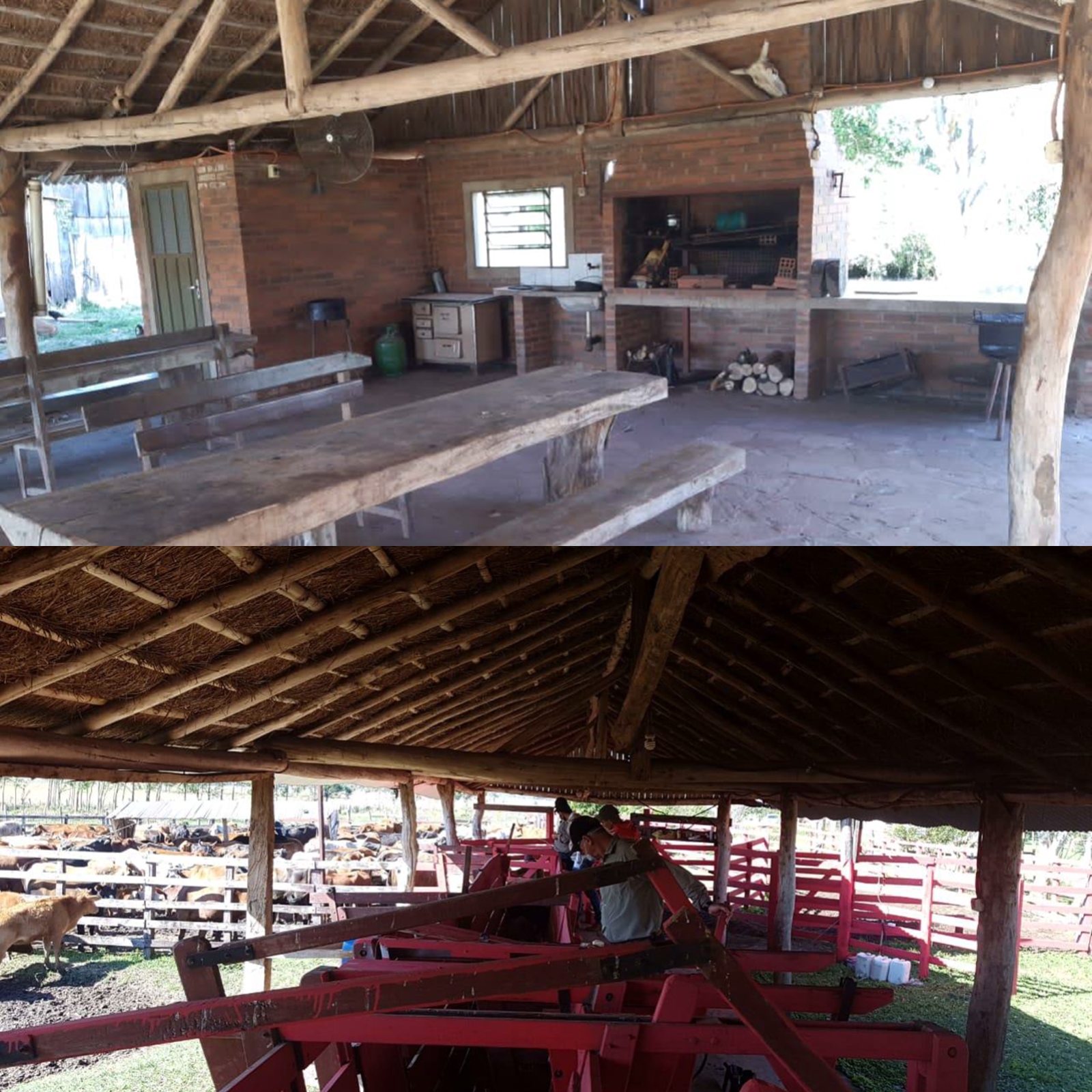
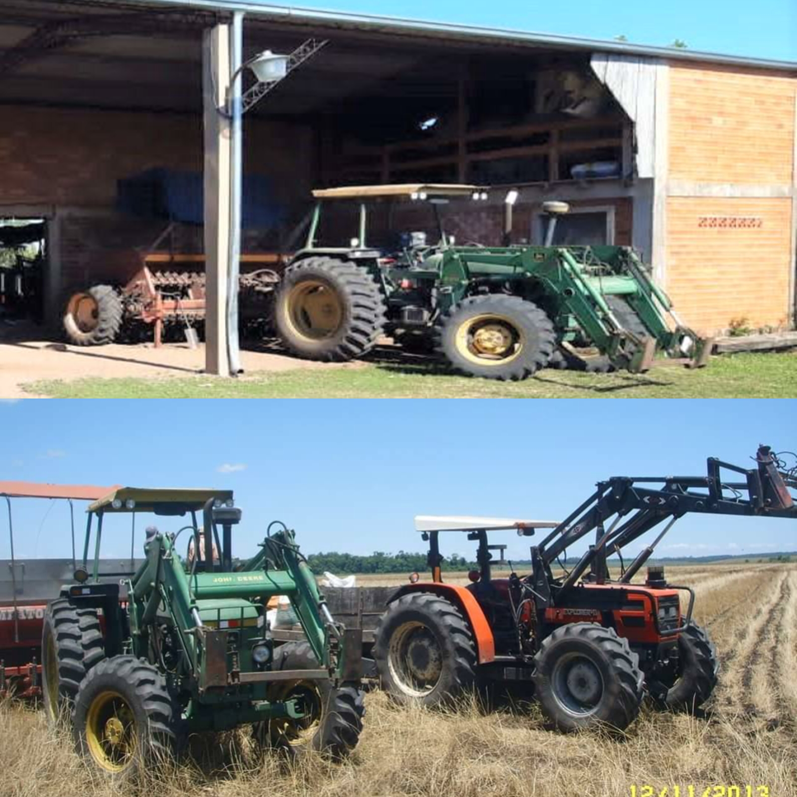
➢ INFRASTRUCTURE: The property features a large shed for the storage and maintenance of agricultural machinery, as well as a residential dwelling equipped with electrical power. It boasts a highly strategic location—situated a mere 3,500 meters from a paved highway—and is surrounded by grain reception silos (with the Agrofértil Morenai branch serving as a nearby landmark). This proximity constitutes a significant advantage in terms of freight and transportation costs. Furthermore, the property is located near La Paz and is just 30 minutes from the commercial hub of Colonias Unidas (home to the Colonias Unidas Cooperative), as well as 15 minutes from the urban center of San Pedro del Paraná.
➢ TRANSACTION GUIDELINES:
As of the current date, the property holds substantial intrinsic value. This is due to the fact that, over the past few years, the real estate market in the Itapúa Department has witnessed an unprecedented surge in demand for secure investment opportunities—particularly when compared to other departments—resulting directly from the following ..